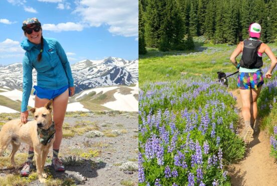
The first thing I did when I moved to Missoula was buy a local hiking guidebook. That night, I flipped through its pages, amazed at the sheer number of trails surrounding my new home.
Three days later, I went on my first outing, a snowshoe shuttle hike in the Rattlesnake National Recreation Area. Then I checked out a traverse on Mt. Sentinel, a canyon hike in the Bitterroot National Forest, and a stroll in the North Hills—all different, all wonderful, and all ridiculously close to my front door.
As I soon discovered, Missoula’s hometown trails can be perplexing to a newcomer. Maybe because there are so many, land managers don’t bother with trail signs or even names in many popular spots. Locals have their own unofficial nicknames for many routes, adding to the confusion (Good luck finding The Gut on a Forest Service map!) Luckily, I met people on these trails who went on to show me how to navigate in their favorite places. Could I have mastered The Garden City’s web of trails on my own? Sure, but it was quicker and more fun to do it with new friends.
So consider this your new-friend guide to Missoula’s best in-and-near-town hikes. It’ll get you exploring like a local—until you meet your own hiking buddies out there to show you the rest.
Related Read: 11 Secluded Cabin Rentals in Montana
Mt. Jumbo Loop
Why You Should Go: The 4,768-foot peak sees far less traffic than its neighbor to the south, Mt. Sentinel, but offers the same downtown views and cardio challenge.
- Distance: 4.3 miles
- Elevation Gain: 1,500 feet
- Difficulty: Strenuous
- Minutes from downtown: 5
Mt. Jumbo rises from the north banks of the Clark Fork River, forming half of the formidable east gateway into Missoula known as the so-called Hellgate Canyon. Legend has it that brutal battles between the Blackfeet and Séliš (Salish) tribes earned the moniker. The best way to hike it: Hoof it uphill from the Cherry Street Trailhead to the giant concrete L (in honor of a local high school), then keep climbing the mountain’s western face to the summit. Retrace your steps to an unmarked junction, then take the south (left) trail to switchback down Jumbo’s grassy southern flank and close the loop.
Mt. Sentinel Loop
Why You Should Go: This lesser-trafficked loop on Mt. Sentinel’s south side boasts tough climbs, quiet conifer forests, and summit views stretching from the Bitterroots to the Mission Mountains.
- Distance: 6 miles
- Elevation Gain: 1,760 feet
- Difficulty: Strenuous
- Minutes from downtown: 8
We’d be remiss not to include Missoula’s hometown mountain, the 5,158-foot Mt. Sentinel. It is often crowded with tourists, students, and ultrarunners in training, especially if you tackle the .75-mile M Trail. This steeply switchbacked path climbs from the University of Montana campus to the peak’s giant concrete M. But, try any of the other routes lacing this hulking landmark, and you’ll have much more elbow room.
From the South Sentinel Trailhead (aka the Gravel Pit Trailhead), ascend nearly 2,000 feet in 2.5 miles along Pengelly Ridge, passing a stone that marks the high-water line of glacial Lake Missoula. Slip into the woods for the final climb, taking a short spur on the left to gain the summit. Enjoy the view, then backtrack and continue east, then south, connecting an old gravel road to the Crooked Trail in Pattee Canyon National Recreation Area. Roll up and down under the trees until popping out on Sentinel’s bald southern side—an excellent spot for blooming arrowleaf balsamroot in May—and returning to the start.
Related Read: 12 AirBnB Rentals in Montana for a Unique Getaway
Spring Gulch Loop
Why You Should Go: This flat, shady, creekside ramble delivers a quick sampler of the Rattlesnake National Recreation Area’s many charms.
- Distance: 5.5 miles
- Elevation Gain: 515 feet
- Difficulty: Easy
- Minutes from downtown: 15
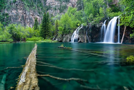
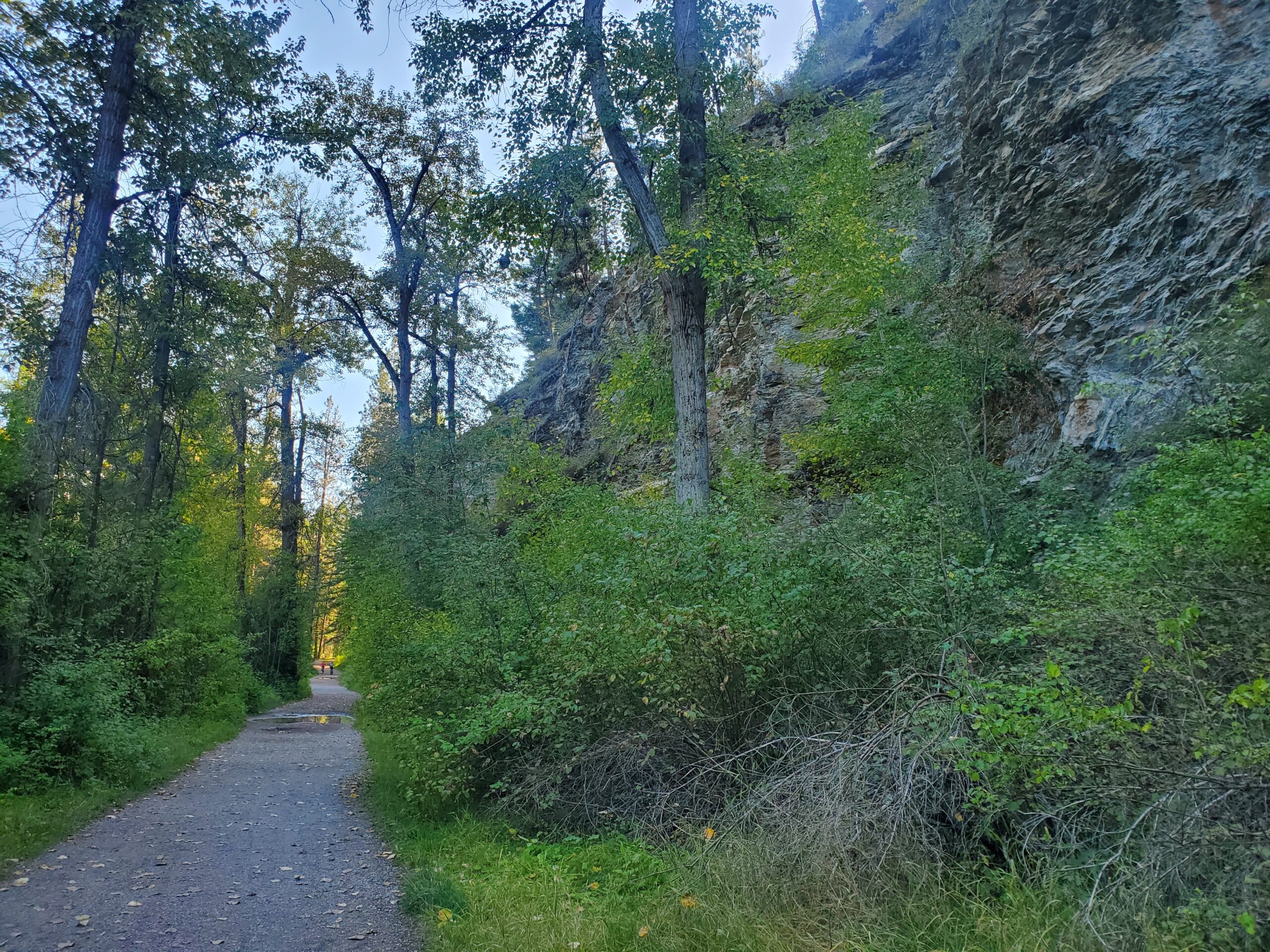
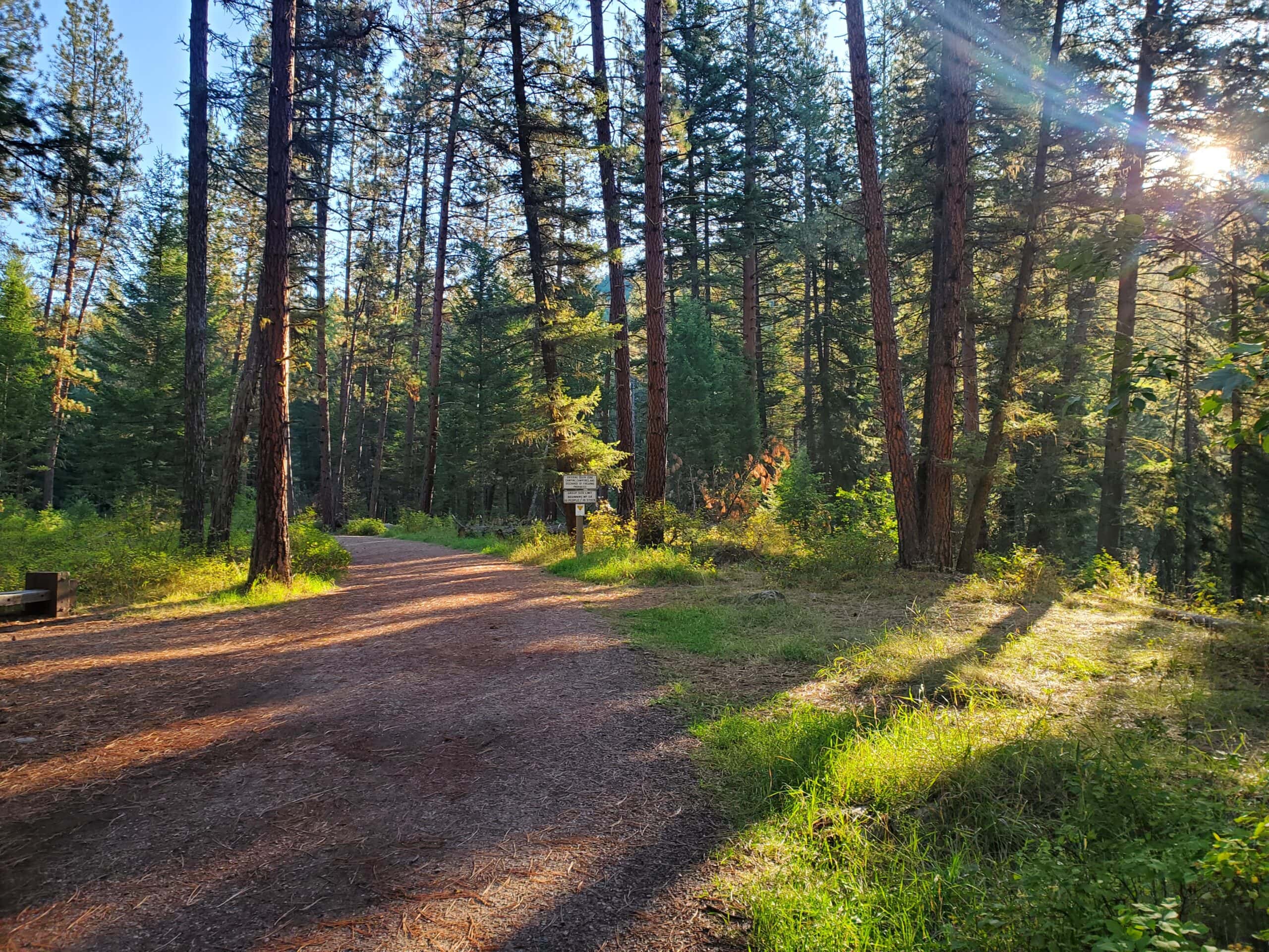
The 28,000-acre Rattlesnake National Recreation Area just north of town is Missoula’s crown jewel of outdoor recreation, drawing locals and visitors alike to hike, mountain bike, and cross-country ski its 73 miles of trails. As if that’s not enough, the NRA borders the Rattlesnake Wilderness within just a few miles, a haven of ponderosa pine woods and peak-cradled lakes.
You’d need weeks to do the area justice, but the Spring Gulch Loop is a fine introduction. Head north on the Main Rattlesnake Corridor beneath the pines and along a rocky cliff to the junction with the Stuart Peak Trail. Turn left and hike deeper into the woods, scanning for old homestead sites and apple orchards as you go. Cross Spring Creek on the bridge at mile 2.7 and swing back south along the other side of Spring Gulch to the trailhead. Pack bear spray: Grizzly bears are beginning to venture into this area again as bear populations grow.
Blue Mountain Recreation Area
Why You Should Go: This spidery network of trails anchors Missoula’s southwest side, offering everything from short dog-walking loops to the challenging climb up 6,460-foot Blue Mountain itself.
- Distance: Varies
- Elevation Gain: Varies
- Difficulty: Varies
- Minutes from downtown: 16
Many of Blue’s 41 miles of trails explore the peak’s northwestern corner, ducking in and out of conifer forests and grassy fields with wide-open views of the Rattlesnake Wilderness, the Sapphire Range, and Missoula Valley. With so many different trails and all of them with hard-to-remember names (take Trail 3.08 to Trail 3.07 to Trail 3.04…), it’s easier to start a day hike from the main parking lot on Blue Mountain Road.
Wander without an itinerary—the lower mountain’s unobstructed views make it hard to get lost, and there are frequent bailout routes to return to the trailhead. (It’s smart to consult a map if you’re exploring deeper into the area, of course.)
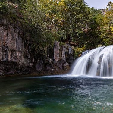
Bass Lake
Why You Should Go: Enjoy small waterfalls along the creek, views of the 9,000-foot-plus peaks lining the canyon, and a remote, alpine lake deep in the Selway-Bitterroot Wilderness.
- Distance: 14 miles round-trip
- Elevation Gain: 3,000 feet
- Difficulty: Moderate
- Minutes from downtown: 35
Just southwest of town, the imposing Bitterroot Range runs north-south along the Montana-Idaho border, characterized by jagged summits and the scenic river canyons between them. The Bass Creek Trail is one of the closest routes into the Bitterroot valleys, and it’s a beaut.
Hike west along Bass Creek, climbing gradually to the lake basin cradled between Bass Peak and Stormy Joe at almost 7,000 feet. Make it a big day hike, or pitch a tent near the lake for a moderate overnight backpacking trip.
Related Read: 8 Lightweight Bear Canisters for Backpacking
Explore More in Montana
Sign up for the Weekend Wanderer to join thousands of readers getting epic travel ideas every week.