When I tell people I live in Colorado Springs, they ask how often I do the Manitou Incline, like it’s a routine errand. This is funny to me, because it’s not really a normal hike (even if it is one of the best free things to do in Colorado Springs!)
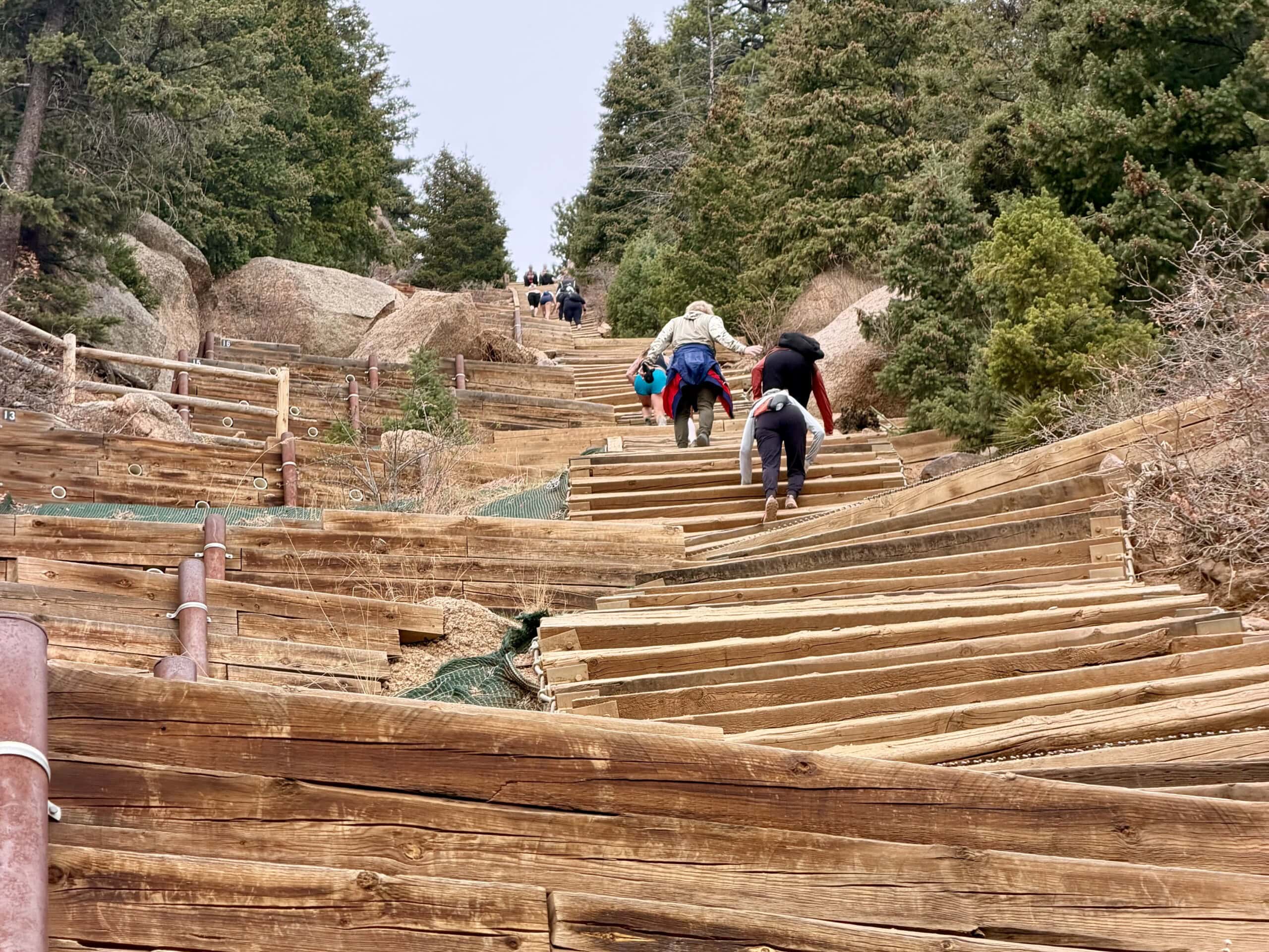
The Manitou Incline exists because of a defunct early-1900s railway that originally hauled materials up the side of Pikes Peak. When a rockslide forced the closure of the railway in the ’90s, the metal track was removed and what was left behind were the ties — basically a straight shot of uneven wooden steps bolted into the hillside.
At the time, the area was technically off-limits, but people started climbing it anyway. Eventually, it became a regulated, reservation-only hike that’s also something of a semi-mythic fitness test and a local proving ground. It’s where new arrivals test their altitude tolerance, where athletes come to train, and where visitors go to see if it’s really as hard as everyone says.
Here’s what you need to know before you tackle one of Colorado’s most infamous hikes.
How Difficult is the Manitou Incline?
It’s hard, but not in a technical way. The Incline gains roughly 2,000 feet in under a mile, climbing from about 6,500 feet to more than 8,500. The average grade hovers around 45 degrees, though it pitches far steeper in sections. The “steps” themselves are those disparate remnants of an old railway — some just a few inches tall, others closer to knee height — so you’re constantly adjusting your stride rather than settling into any kind of rhythm. In the steeper sections, I often use my hands to propel myself forward and maintain my balance. There are also metal placards at 100-step intervals to help hikers track their progress on the ascent.
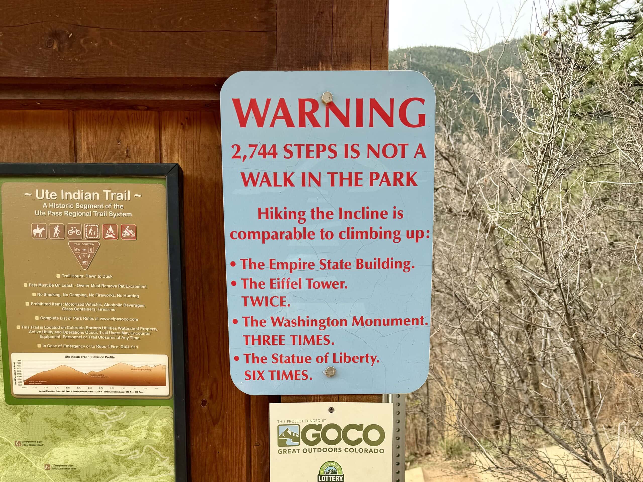
All told, there are more than 2,700 steps (signage at the bottom says 2,744, though the final step placard reads 2,768). You’ll notice signs at various points along the trail noting that it’s roughly comparable to climbing the Empire State Building, the Eiffel Tower (twice), the Washington Monument (three times), or the Statue of Liberty (six times).
Most people take somewhere between one and two and a half hours to reach the top, though the range is wide, especially for those who aren’t used to the altitude. On my last go of it, I saw a three-year-old in a tutu and an octogenarian with heavy-duty knee braces on the climb. My point: anyone reasonably fit can do it, especially with breaks along the way.
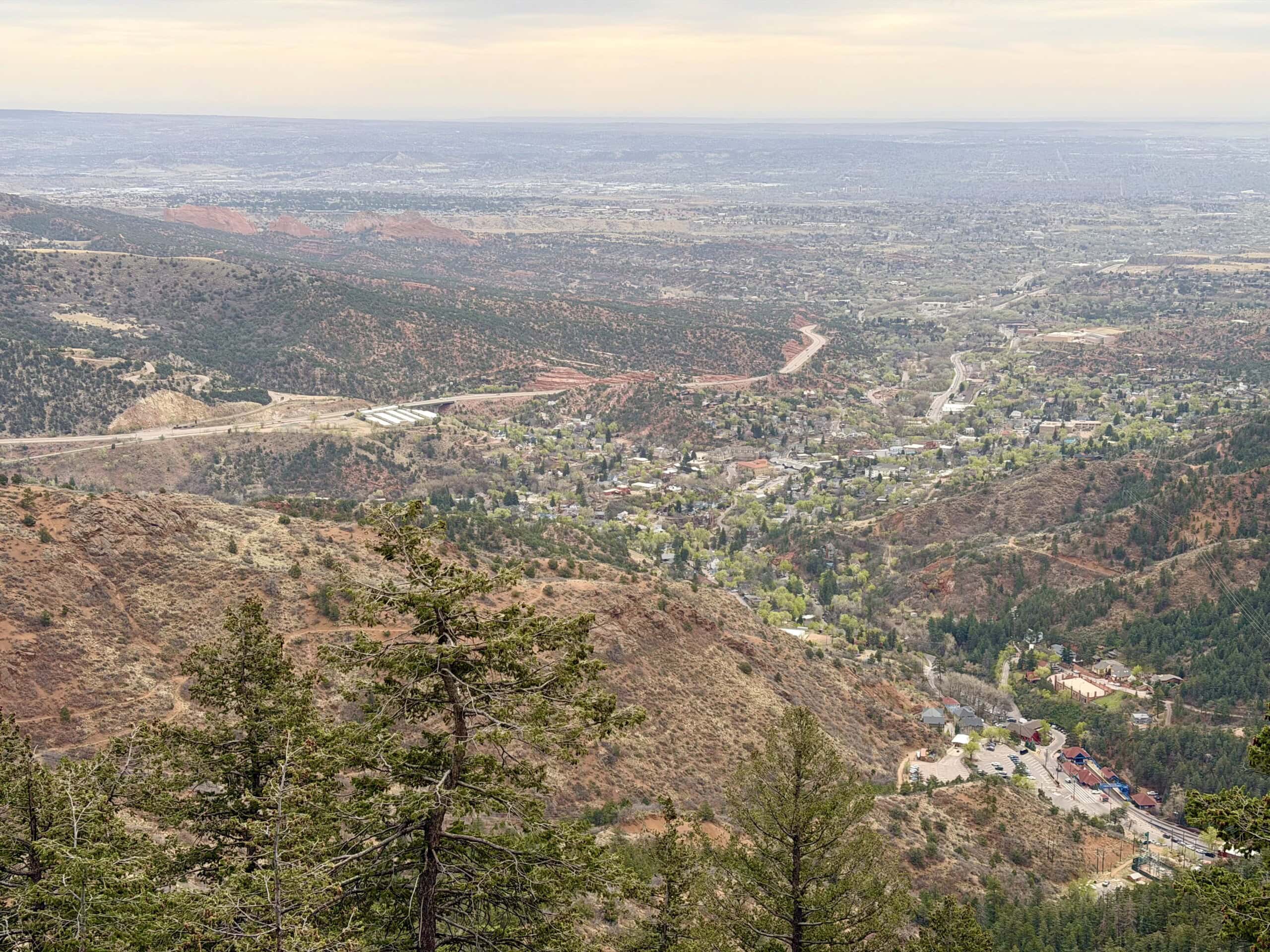
Though the way up is just a mile, the trail’s total length is about four miles. Hiking waivers and signs at the bottom note that hikers are supposed to take the adjacent Barr Trail down (though many don’t), which features a gradual grade and long, gentle switchbacks. The Barr Trail descent tends to take an hour or more, and it’s worth it, both for your knees and the scenery. After the stark, straight-up grind of the Incline, the Barr Trail feels calmer and more scenic, with stretches of shade and genuinely nice views of the surrounding valley.
Manitou Incline: Permits and Reservations
You’ll need a reservation to hike the Incline, which can be made in advance through the City of Colorado Springs. It’s free but required, as it also includes signing a liability waiver. For the reservation, you’ll need to select a 30-minute arrival window, and as long as you start within that timeframe, you can take as long as you need to finish.
It’s a system that has made the experience noticeably more manageable, especially during peak season. Mornings, particularly early ones, are still the most popular time to go, thanks to the cooler temperatures and softer light. Weekdays tend to feel less crowded, though the Incline rarely feels empty.
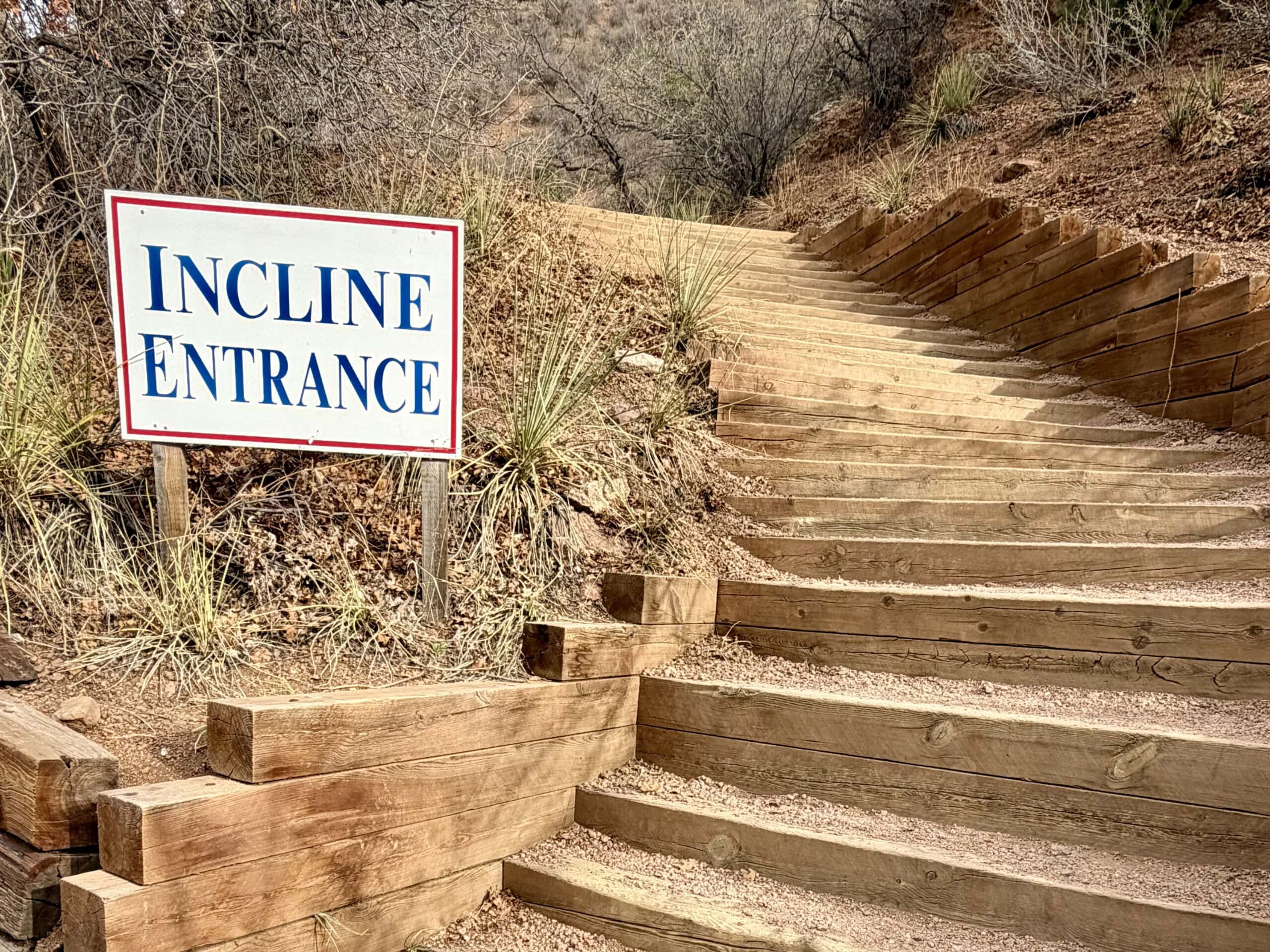
Getting there requires a bit of planning. There is a small parking lot right at the base, called the Iron Springs Chateau Park (444 Ruxton Ave.), but it fills up quickly, especially in the morning. Parking there costs $15 for four hours and is cash only.
Visitors can also leave their cars at the Dillon Mobility Hub (134 Manitou Ave) or the Hiawatha Gardens Parking Lot (10 Old Man’s Trail) in downtown Manitou Springs and take the free #33 Shuttle to the Incline/Barr Trail stop (which comes every 20 minutes). Parking is free for the first two hours, and $3 per additional hour at the Dillon Mobility Hub or $1.75 per hour at Hiawatha Gardens. It’s a straightforward system, but it does add time to the start of the hike (about 30 to 45 minutes), especially on busy weekends.
There is some street parking in Manitou Springs, though much of the space around the base of the Incline is saved for local residents and is permitted. Whichever option you choose, it’s worth building in extra time.
What to Pack for the Manitou Incline
Despite its length, the Incline calls for the same kind of preparation you’d give a longer hike. Water is the most important thing. Bring more than you think you’ll need, especially in summer. Comfortable, grippy shoes (like hiking or trail running shoes) help on the uneven steps, and sun protection (either SPF or sun shirts) is essential given the lack of cover. I typically bring a protein bar or another summit treat, too.
Though I’d love to bring them with me, I leave my dogs at home. The Incline has a strict no pets policy.
What the Climb Feels Like
The first stretch is almost misleading. It’s steep, but manageable, and it’s easy to fall into a rhythm. However, that changes pretty quickly.
Within a few hundred steps, the angle sharpens, and the spacing between ties becomes less consistent.
Around the 600th step (!!!), the grade increases substantially, with the steps becoming more irregular, and the effort required to keep moving builds in a way that’s hard to fully anticipate. The railroad ties shift in height and spacing. Some sections tighten into smaller, quicker steps, while others stretch into big, almost lunge-like strides. You’re constantly adjusting, and whatever rhythm you thought you had tends to fall apart. That variability sticks with you for the rest of the climb.
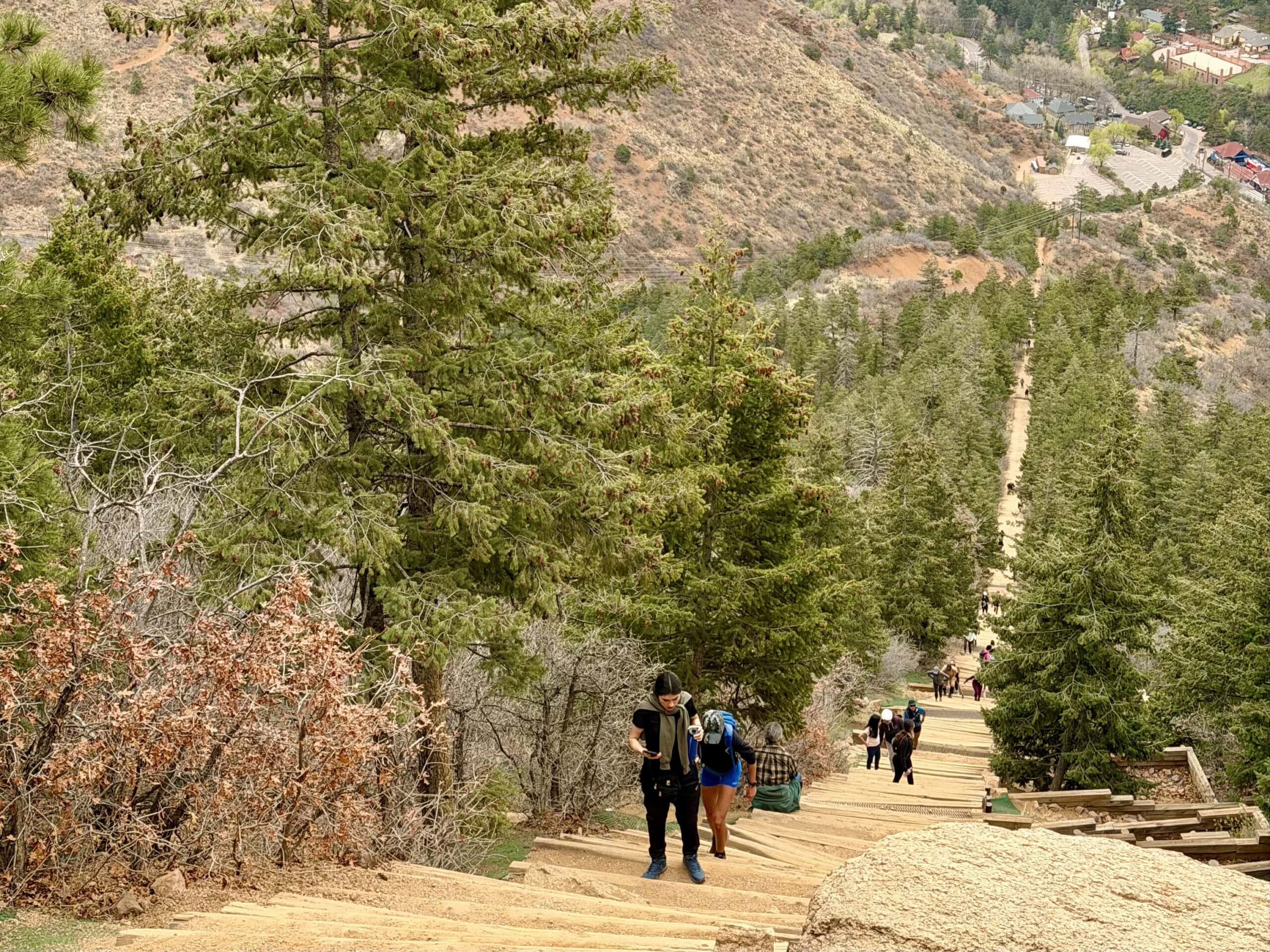
There are small pullout areas along the sides where people step off to rest, and it’s not unusual to see hikers fully reclined on the steps or stretched out along the edge, catching their breath for a minute before continuing.
There’s a well-known “false summit” that appears to mark the top but is only about 75 percent of the way up. This can be a mental hurdle if you’re not expecting it! (Although I typically don’t notice it until it pass, as it’s in one of the trickier bits of trail and I’m usually focused on my feet and making sure they don’t trip on the planks of wood).
There are also two bailout points on the way up (at railroad ties 396 and 1,300, where the Incline intersects the Ute Pass trail), for those who have had enough.
Manitou Incline: When to go
Conditions shape the experience more than anything else. If you’re going in the summer, mornings are the most comfortable, before the heat builds. Fall tends to offer the most consistent conditions, with cooler temperatures and clear views. Spring can be variable, and winter often brings ice, making an already challenging trail even trickier to navigate.
Seen in: Colorado, Colorado Hiking